XR-RD11 series
1.Product overview
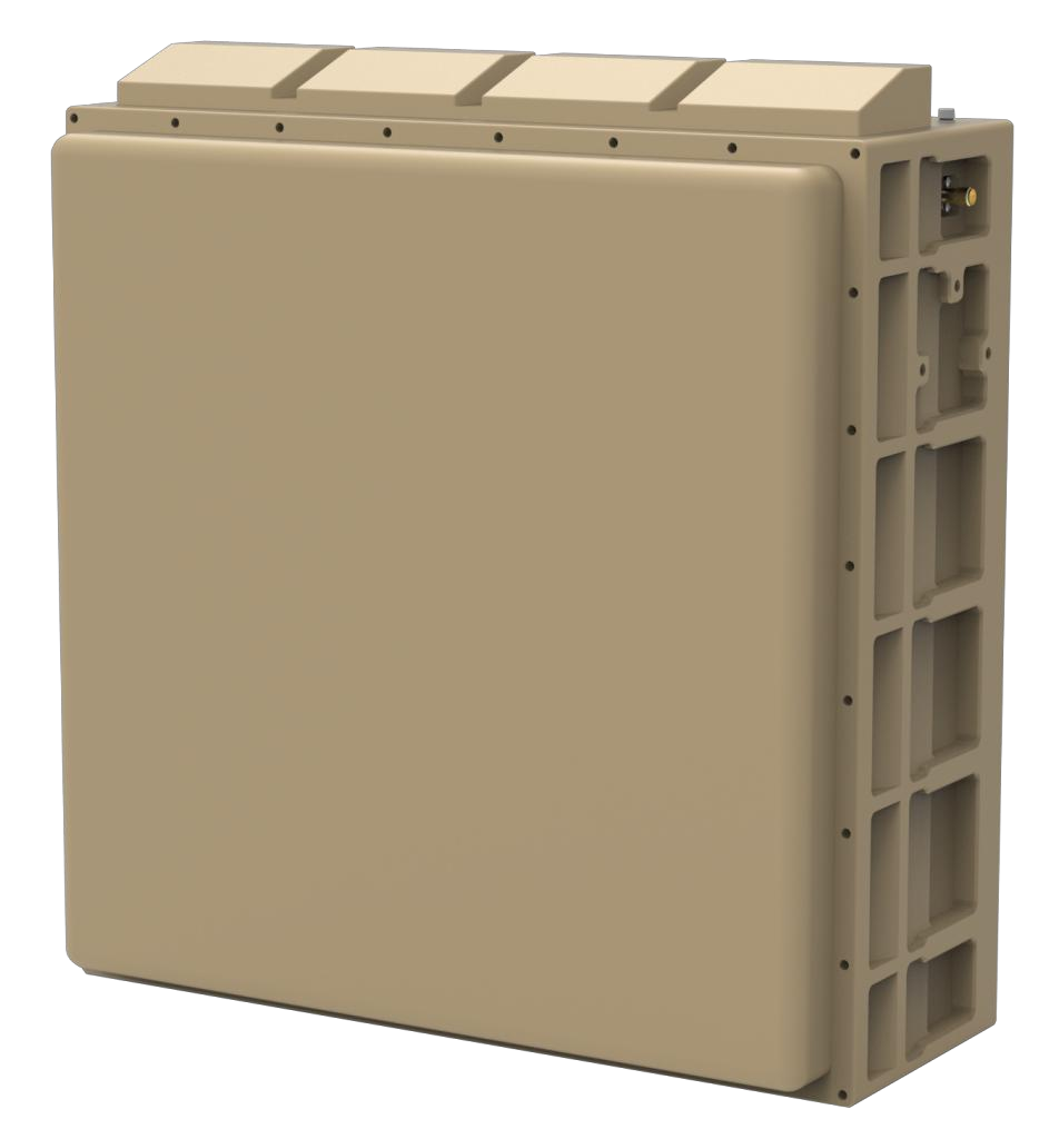
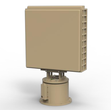
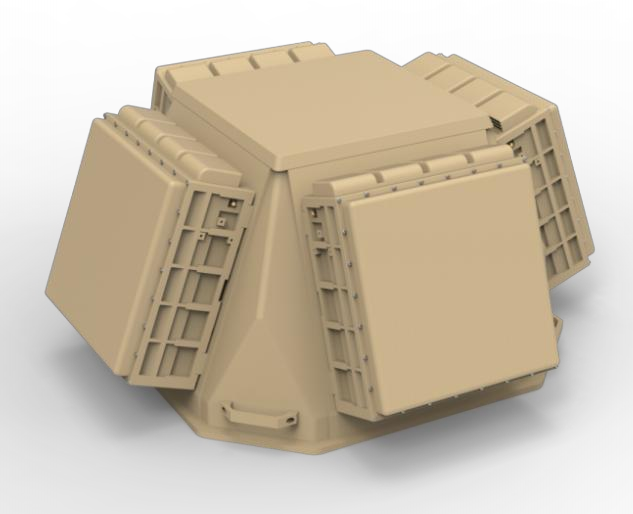
XR-RD11 series of low-altitude Detection AI radar is X-band phased array radar, which based on all-solid-state, fully coherent, pulse Doppler system , using the machine learning and AI intelligent recognition technology to detect, track and identify "low, small and slow" targets with all weather.The radar adopts a two-dimensional phase scan technology to meet the requirements of 3 application scenarios .
2. Technical index
|
Type |
XR-RD11A |
XR-RD11B |
XR-RD11C (Four-sided array) |
|
Frequency |
X-band |
||
|
Detection |
≥10Km (RCS:0.01m²) |
||
|
Blind Zone |
≤200m |
||
|
Field of View |
Azimuth: ±45° , Elevation: 30° (Elevation can be configured) |
Azimuth: 360° , Elevation: 0°~30° (Elevation can be configured) |
|
|
Tracking |
Phase-scan TAS function |
Sweep scan tracking / TAS function |
Phase-scan TAS function |
|
Speed |
1m/s~ 100m/s |
||
|
Accuracy |
Distance: ≤10m, azimuth: ≤0.5° , Elevation: ≤0.5° |
||
|
Update Rate |
Search :≤5s, TAS: 0.5 s or less |
||
|
Weight |
≤25Kg |
≤40Kg |
≤120Kg |
|
Power |
DC24V/220VAC |
||
|
Operating Power |
≤1100W |
≤1200W |
≤4400W |
|
Size |
≤480mm*480mm*200mm |
≤780mm*480mm*300mm |
≤950mm*950mm*600mm |
|
Operating Temp |
-40℃ ~ +60℃ |
||
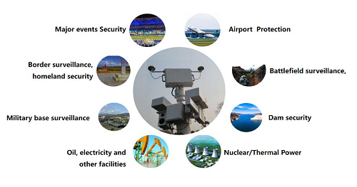
3. App l icat ion f ie ld
4. techn ica l character ist ics
1) series, more products
Multi-band : a series radars include X band and Ku band ;
Wide range : provide the series radars which detect the UAV of RCS=0.01 ㎡ from 1.5km to 10km ;
2) Excellent performance and full function
Intelligent : machine learning technology, adaptive position environment automatically, which the radar works directly after changing the work position.
Strong detection : a series radars with high detection ability, low false alarm, which can detect high-speed maneuverable flying UAV stably ;
Full function : a series radars for all the environments including low altitude, ground or sea ;
AI : AI technology used to achieve Classification and recognition for the targets such as drones, birds, people and vehicles etc ;
All-weather : a series radars with cloud and rain clutter suppression function, which work with all-weather condition ;
Automation : built-in the inclinometer module and GPS module, which realize the angle compensation and north calibration function automatically.
3) Software definition
Elevation settings : Elevation coverage can be configured ;
Range settings : different ranges can be configured ;
Mode settings : different working modes can be configured (such as switching sweep scanning mode and phase scanning mode ) ;
Update rate settings: different target update rates can be configured.
Next: Null